Getting there
Where Barichara is and how to get there
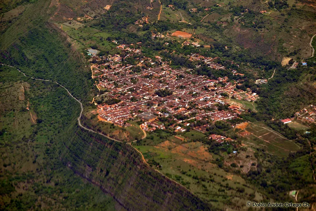
Barichara lies in northeastern Colombia on a plateau at the edge of the Suárez river canyon, 1,300 meters above sea level. The gateway is San Gil.
Distances and times
| From | Distance | Approximate time | Guide |
|---|---|---|---|
| San Gil | 22 km | 35 to 45 min by bus | San Gil to Barichara |
| Bucaramanga | 110 to 120 km | about 3 hours | Bucaramanga to Barichara |
| Bogotá | 321 to 349 km | about 7 hours by car | Bogotá to Barichara |
| Tunja | 208 km | about 4 hours |
Distances from Wikipedia, the Heritage Towns network and bus timetable sites, checked October 20, 2026.
The nearest airport
Hotel listings on Booking.com put Palonegro international airport, serving Bucaramanga, about 120 km away. From there you continue by road through the Chicamocha canyon and San Gil.
Affiliate links: if you book through them we may earn a commission from Booking.com at no extra cost to you. How it works.
Getting around town
The old town is walkable. For hotels on the outskirts there are tuk tuk style motorbike taxis; a traveler reported about COP 10,000 for 4 km in 2024. To choose an area, check the weather and the hotel areas.
Frequently asked questions
Is Barichara in Norte de Santander?
How high is Barichara?
Sources
Checked on October 20, 2026. Prices and opening hours change: always confirm with the official source before you travel.