Natural viewpoint
Salto del Mico, Barichara: how to reach the canyon edge
This is the spot for the classic photo: a rock at the edge and, more than three hundred meters below, the Suárez river valley with the Yariguíes range opposite.
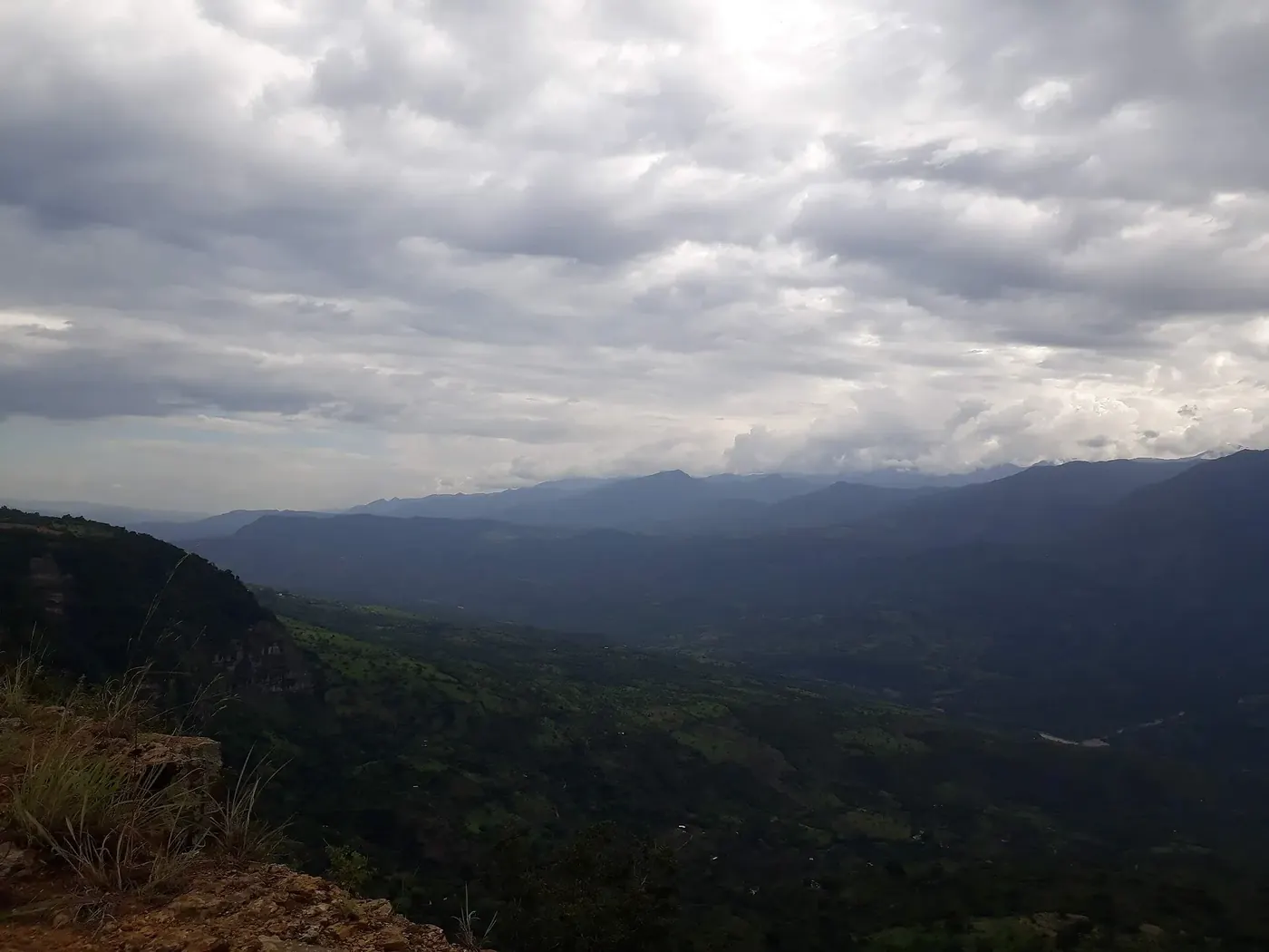
- From the square1 km
- Walk from Bagaríabout 2 km round trip
- Dropover 300 m
How to get there
Leave the main square on the road toward Guane and turn into the Bagarí development. Saberes Patiamarillos puts the falls 1 km from the square; Finca San Vicente describes the walk from Bagarí as a short outing of about 2 km round trip along the cliff edge.
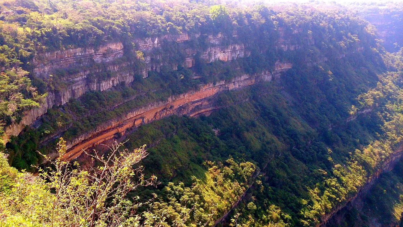
According to local tradition the name comes from the monkeys that lived here when dry forest covered the area. In the rainy season a thread of water falls and vanishes into the depths.
When to go
Around 5:30 in the morning and afternoon people come to watch the sun rise and set. At midday the sun is harsh and there is little shade; check the Barichara weather before you go.
Careful at the edge
- Signs warn about falls and loose rocks.
- Not recommended for anyone with vertigo.
- Bring water and grippy shoes, and do not go to the edge alone.
Down the Bagarí road there is a small plaza with a couple of bars and a restaurant with a view. To sleep close to this edge of town, La Loma Hotel is in the upper part. For more canyon edges, continue with the town viewpoint or things to do in Barichara.
Frequently asked questions
How much does Salto del Mico cost?
Can you go by tuk tuk?
Sources
Checked on October 20, 2026. Prices and opening hours change: always confirm with the official source before you travel.